supermap-leaflet
SuperMap Leaflet
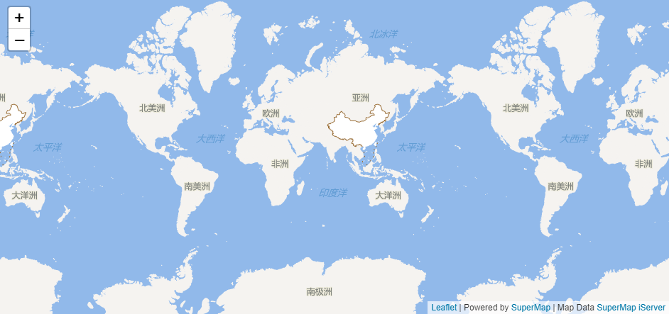
![]()
![]()
Introduction
English: SuperMap Leaflet is a part of SuperMap iClient for Leaflet , and can also be used as plugins for Leaflet for working with SuperMap service types.
中文:SuperMap Leaflet 是 SuperMap iClient for Leaflet 产品的一部分,包含了部分功能 ,同时也属于Leaflet的一个插件。
-
website:http://iclient.supermap.io/introduction/leaflet.html#introduce
-
source code:https://github.com/SuperMap/iClient9/tree/master/src/leaflet
Requires Leaflet v1.0.0 or later.
Demos
Live Demo.
Example
Here is an example you can put into your own .html file.
    <!DOCTYPE html>
    <html>
    <head>
        <meta charset="UTF-8">
        <title>SuperMap  Leaflet TiledMapLayer</title>
        <link rel="stylesheet" href="http://cdn.bootcss.com/leaflet/1.1.0/leaflet.css">
        <script type="text/javascript" src="http://cdn.bootcss.com/leaflet/1.1.0/leaflet.js"></script>
        <script type="text/javascript" src="../dist/SuperMapLeaflet.js"></script>
    </head>
    <body style=" margin: 0;width: 100%;height:100%;position: absolute;top: 0;bottom: 0">
    <div id="map" style="margin:0 auto;width: 100%;height: 100%"></div>
    <script type="text/javascript">
        var map, url = "http://support.supermap.com.cn:8090/iserver/services/map-china400/rest/maps/China";
        map = L.map('map').setView([0, 0], 1);
        L.supermap.tiledMapLayer(url).addTo(map);
    </script>
    </body>
    </html>
API Reference
We only provide tiled map module in this version.More exciting modules are coming soon.
- List of API
- TiledMapLayer
- coming soon
TiledMapLayer
Used to load and display tile layers on the map. Extends L.TileLayer.
Usage example:
L.supermap.tiledMapLayer("http://<server>:<port>/iserver/services/<serviceName>/rest/maps/<mapName>").addTo(map);
Creation
L.supermap.tiledMapLayer(url, options);
Options
The settings on the list are the request parameters for the server map resource, and they all become part of the URL.
| option | type | default | description |
|---|---|---|---|
token |
string | null | iServer service Token |
layersID |
string | null | If not null,it means to use theme map under iServer map service which specifies by layersID |
width |
int | 256 | Tile width from Server |
height |
int | 256 | Tile height from Server |
prjCoordSys |
Object | null | Map’s dynamic projection coordinate system. e.g.: {“epsgCode”:3857} |
overlapDisplayed |
Boolean | true | Whether the map objects are overlap display in the same range |
overlapDisplayedOptions |
Object | null | Overlap display filter options,valid only if ‘overlapDisplayed’ is false.See also overlapDisplayedOptions |
tileversion |
String | null | Tile set version,valid only if ‘cacheEnabled’ is true. |
redirect |
Boolean | false | If true , it will request the image’s real url address |
cacheEnabled |
Boolean | true | If true,the tiles images will use iServer cache,it will be faster to display whole map |
transparent |
Boolean | false | Whether the tile is transparent.If true,the tile from server will be transparent;otherwise,is will be white |
Options inherited from TileLayer options
License
Licensed under the Apache License, Version 2.
A copy of the license is available in the repository’s LICENSE file.